Ceder Butt (Cedar Butte)
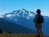
Chunlin and I took a short hike up Cedar Butte today, but the weather gods didn't cooperate fully. Hívuítoví gave us some rain for starters, Vítí chipped in a few ice pellets, and Rana kept Her clouds draped over the surrounding mountains. Hence, no great views.
Not that Cedar Butte (or Ceder Butt, as the survey monument from 1937 says) would have great views without the clouds. We went there because we hadn't been before and it was less busy than Rattlesnake Ledge, across the way.
You start with a mile on the John Wayne Trail, leaving from the more-or-less abandoned town site of Cedar Falls.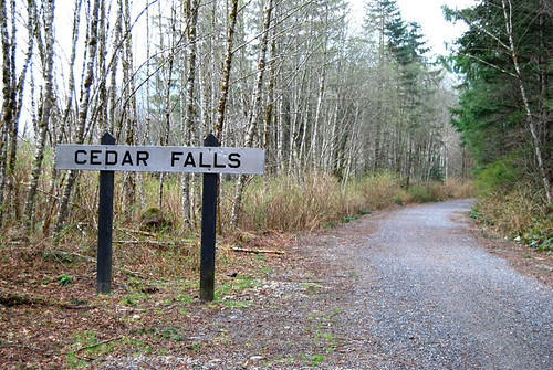
It's a railroad sign, you see, only fancier.
Near the top, there's a brief glimpse of Rattlesnake Lake.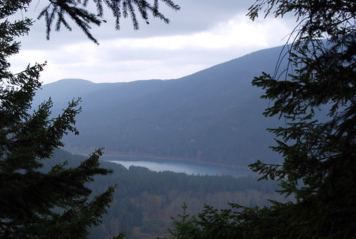
The trail made Chunlin happy.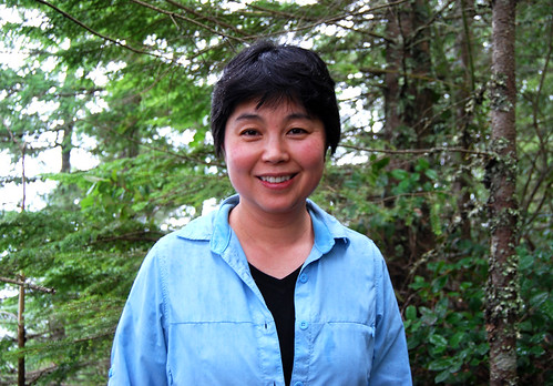
As I said, Ceder Butt:
The top of the hill has a bench. . . and that's about it.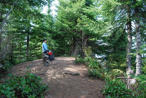
Cedar Butte has a good view of Mailbox Peak, but I couldn't get a good photo through the clouds and trees. You'll have to go see for yourself.
But read up on the Boxley Blowout first.


No comments:
Post a Comment