Olney Pass
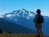
I needed to get out hiking this weekend, so I dragged Chunlin up the Sultan Basin Road with the intention of climbing Blue Mountain. Supposedly you have 360° views from up there, on a suuny day. As today was sunny, more or less, I thought that would be perfect.
Alas, 'twas not to be. The county (or the PUD) had thrown up "Road Closed" barriers just after mile 10. I had wanted to start hiking at Olney Pass, at mile 12.8.
We weighed our options and decided to hike up to Olney Pass, since that was about the mileage and elevation gain we were planning to walk today, anyhow. Hopefully we'd have some views from the north side of the pass.
The road started up steep from 1100', with the pavement ending quickly. About halfway to the pass (around 1800' elevation), we hit snow. But it wasn't too bad. Some trucks who had driven around the barriers had carved us some walking aisles.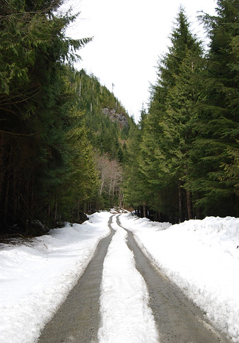
Around 2000' elevation, the dirt paths turned into slushy snow trenches.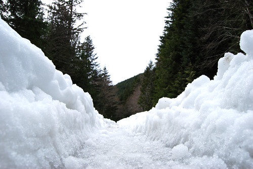
We made it to Olney Pass awhile thereafter, but no views awaited us. Chunlin was distraught.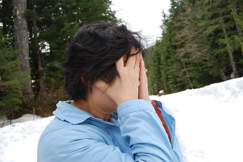
Deciding against a mile-long trudge through the snow for a possible viewpoint overlooking Spada Reservoir, we headed for home. Another successful hike!
By the way, Sultan Basin Road is a very fun road to drive, but it has a high carsickness potential for passengers.


No comments:
Post a Comment