SR 20: Thoughts from a Week Ago
This weekend, I didn't do anything terribly photo-worthy (vacuum house, water plants, lunch with in-laws, lunch with mother, run, study Chinese, mow lawn, weed, fix rental house stairs, file bills, shred bills, order fridge parts, relocate website from Geocities to Webs, and upload last weekend's photos onto Flickr), but the previous weekend, we drove a huge loop across the state that warranted uploading photos onto Flickr (also Flickr).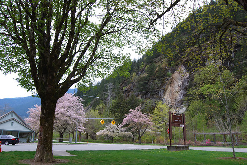
We stopped in Newhalem for a picnic lunch. A pleasant meal under the trees. The contant bell-ringing by kids on the nearby locomotive was a bit distracting, however.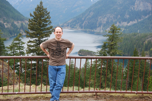
And then we had to stop at the Diablo Lake overlook, as must everyone.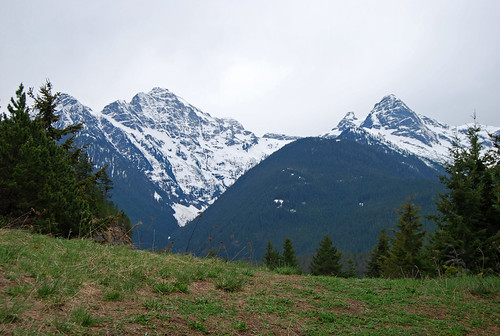
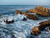
Lovely mountains abound.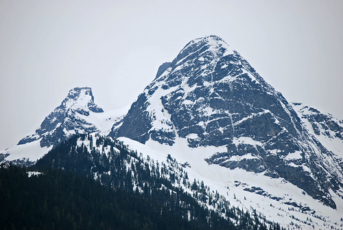
Zoooom!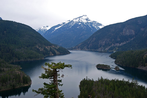
I'm used to Diablo Lake being very green from glacial run-off, but I guess early in the year, the snowfield run-off dominates the flow and the lake's plain blue.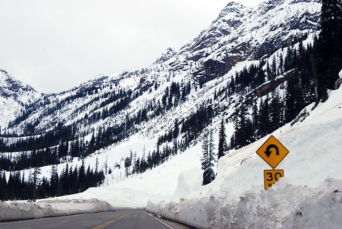
Up over Washington Pass, through the avalanche chutes. Still plenty of snow piled around.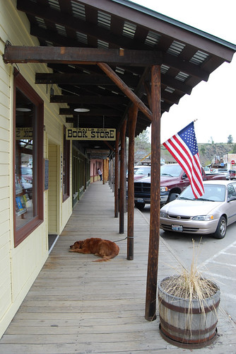
We stopped for a bit in popular Winthrop, home of the wooden sidewalks. All we bought was an ice cream cone, however.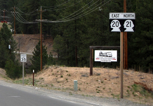
Near Republic, highways 20 and 21 overlap. This is fairly unusual in Washington, except for the U.S. Routes which often overlay interstates and each other. 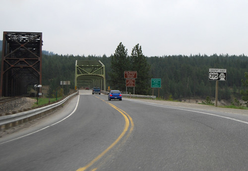
Or like here, where 395 overlaps 20. We're just about to cross the Columbia River (Lake Roosevelt here) at Kettle Falls (the falls are now under the lake). In many ways, SR 20 is like a U.S. Route, in that various bits of existing highway (and a couple new stretchs) were assigned a number to make a unified route. To make the northernmost cross-state highway, the state had to include many stretches of "eastbound 20" that were actually north or south, or in extreme cases, west. Is it thus any wonder that SR 20 is the longest highway in the state, even though it doesn't go all the way to the Pacific?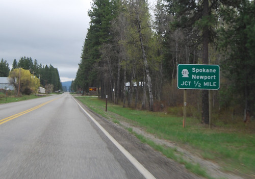
An oddity northwest of Newport. This sign would imply that you should take SR 211 to get to Newport, when rather you should keep going straight. I hope not many get confused.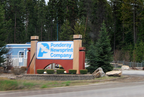
Ponderay in Pend Oreille! I blame the French, for not knowing how to properly pronounce their own language. Also: why do we call it newsprint when it has neither news nor print? Shouldn't it be called paper or, perhaps, newspaper? And then call newspaper newsprint, because it actually has words printed on it? . . . I blame the French.


No comments:
Post a Comment