Sailing to Victoria
The Anacortes ferry is closed till spring. The Port Angeles ferry was closed for ship maitenance. The Clipper was just too expensive (and we'd've'd to rent a car once we got there!). Which means our only option was to drive north to the border and catch a ferry from up there.
Yes, I-5 was covered with snow. But we didn't let that stop us. We were on vacation!
We arrived at Tsawassen (near Vancouver) and waited 45 minutes for the next ferry.
Look! They have seagulls in Canada!
(For the full resolution, click the image, then click "all sizes" above the image on the next page, then "original" in the upper right.) I like my new camera. I can actually take pictures of moving animals now.
So, um, here's the route the ferry takes (plus a few other routes that we didn't take.) The southbound ships sail to the east of Portland Island (at the south end of the map), while the northbound ships sail far to the west before heading north. I guess that helps circulation.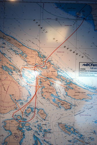
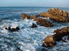
And away we go.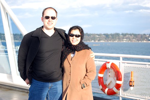
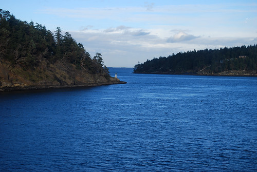
We sailed through that narrow passage. It's called Active Pass, and not from the amount of traffic, but after a surveying ship called the Active. Ah, the things you learn when you open a book.

Chunlin sees our destination.
More photos are on flickr, with more yet to come. Like pictures actually from Victoria.


No comments:
Post a Comment