Our Grand Tour of Eastern Washington and British Columbia
This weekend is a stay-at-home weekend. The house and yard need a lot of work, even after I've spent all morning working on it!
And do you know why the yard needs so much work? I've been neglecting it by taking long trips over the past few weekends.
A week ago Friday, we took care of some business at home after work, then hit the road. On I-90 in Bellevue, I realized that we didn't have Chunlin's passport nor my birth certificate, so I had to double-back for home. 520 was jammed westbound. I picked up the documents, then we left home the second time after 8 p.m.
Near Cle Elum, we called a few motels in the Yakima valley till we found a good price and good distance. Since my destination the next morning was the Juniper Dunes Wilderness Area, Othello would probably have been the quickest route, but there are only a couple motels in that town.
So we stayed at an inexpensive motel in Sunnyside, watched Jay Leno's last episode of the Tonight Show, had a continental breakfast, then headed out into the desert.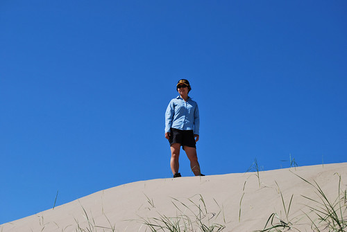
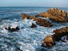
Juniper Dunes Wilderness is a big area of sand dunes northeast of the Tri-Cities. It's also the northernmost home of wild junipers in the U.S., hence its name. We didn't venture too far into the wilderness. We climbed the big hill/dune near the north entrance, walked around in a circle atop the hill/dune, and called it good. Why venture down into the low dunes when you can see it all from the top? True, we could still see farms and ranches to the north, but that's no problem.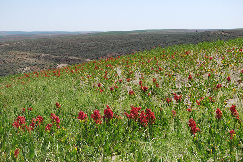
So then we headed across rural Franklin County toward Kahlotus, the "hole in the ground" at the start of Highway 21.
The highway had a constant supply of little birds sitting on it. I never hit one -- they always flew away in time -- but several gave me a scare. Were they sunning themselves on the hot asphalt like lizards? Or was the road the only place they felt safe from predators?
We stopped in Odessa for lunch.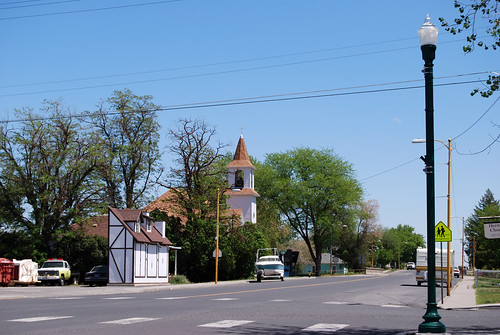
Not the Odessa in Ukraine nor Texas, by the way.
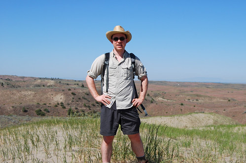
One from the outskirts of Wilbur:
It was a bit odd to come across US 2 way out in the middle of the state. We'd driven through Wilbur in February 2008 without stopping, and yet it was familiar. Back then, it was cold and foggy, though. Quite a difference.
Next up, the mighty Columbia River!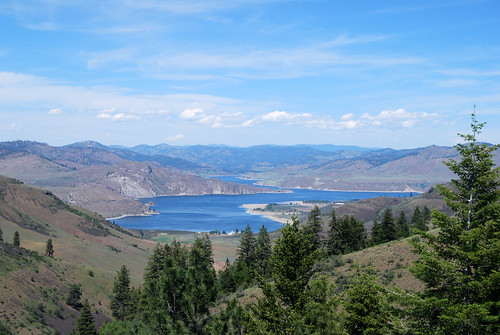
(Chunlin's photo above)
All the rivers we encountered on our trip (Yakima, Sanpoil, Kettle, Similkameen) were nearly overflowing their banks racing to get to the Columbia, and yet the water level on Roosevelt Lake (behind Grand Coulee Dam) was surprisingly low.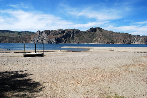
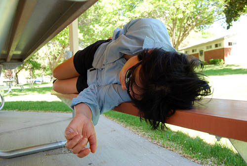
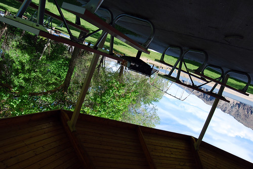
The log boom surrounding the swimming area at Keller Ferry Campground was high and dry. That was too much hot sand to cross for my liking, so instead of jumping in the lake, we rested at the picnic shelter and listened to the wind blow the trees.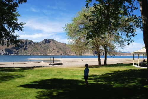
Eventually, we decided to hit the road . . . or more precisely, the ferryboat. There's no bridge across the river/lake here, just a ferry that's been going back and forth every day for fifty-some years. WSDOT is working on designing the replacement.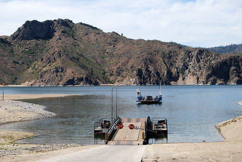
With the extreme changes in water level, I'd think designing a new dock will be the hard part.
As we boarded the little ferry, a deer ran down to the lake for a drink.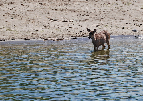
And away we go. . .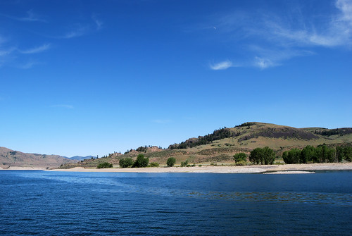
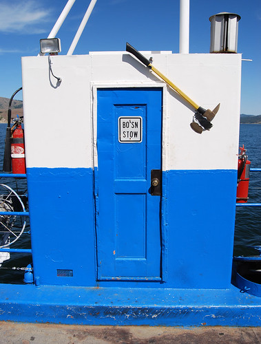
What's the typical abbreviation for boatswain, hm?
After dinner in Republic and lots of forest valley driving, we hit Canada.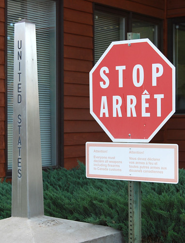
The Canadian border guard thought we were pretty suspicious, from what I gathered. We'd been to Canada a week earlier; it was seven o'clock in the evening; we didn't have a hotel reservation; we were from Seattle and crossing several hundred miles east; and Chunlin's passport still has her maiden name (the guard noticed our wedding rings). I think if I had told him at the beginning about driving the length of every Washington highway in numerical order, we might not have seemed so suspicious. Chunlin thought that would be too weird, though.
But let us in, he did. So off we drove to the west, on the Crowsnest Highway, toward Osoyoos (however you pronounce it). The last major mountain pass to the east of Osoyoos is not really a pass. If there wasn't an international border at 49°, the road would simply travel down a valley to the Okanogan River a couple miles south of Osoyoos. As it is, the Canadians had to enact a good chunk of engineering to get this road over the ridge. You'd think we could've sold them a few square miles for a good road. . .
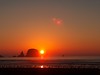
By the time we got to Osoyoos and checked into a motel, the sun was setting.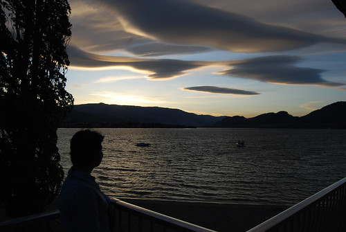
That's from our motel balcony, by the way.
After the Suze Orman Show and a good night's sleep, we took a walk along the lake.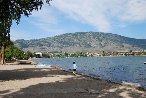
A long drive through the mountains of British Columbia later, we arrived at Harrison Hot Springs for the second time in a week. Much more crowded than Monday, but just as windy.
We only had enough time to walk along the lakefront, exchange a Canada hockey jersey for a smaller size for Christina, have lunch, and then it was time to head for home.
The U.S. border guards gave us no trouble. We belonged in the U.S., after all. He did remind me that that was the last day I could use my driver's license and birth certificate to enter, however. I knew. It was part of the reason I wanted to get the drive done the last weekend in May. My passport application is now in the mail. Four to six weeks, they say.
. . . My car got a heck of a lot of mileage in May. Seattle to Burlington to Twisp to Republic to Colville to Newport to Spokane to Seattle to Burlington to Doe Bay to Friday Harbor to Mount Vernon to Seattle to Bellingham to Harrison Hot Springs to Bellingham to Seattle to Ellensburg to Sunnyside to Juniper Dunes to Odessa to Republic to Danville to Osoyoos to Harrison Hot Springs to Bellingham to Seattle!


1 comment:
I believe it is pronounced "oh-SUE-yoos", rhymes with juice and moose.
Post a Comment