A few days ago. . .
Saturday morning, we headed south for Vancouver. During a slight detour while looking for an onramp to the western end of SR 14, we wound up on SR 501 for a moment.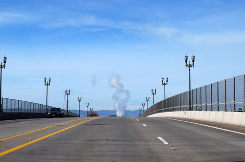
But I turned around and got headed the right direction. Chunlin took a lot of photos as we cruised down the highway.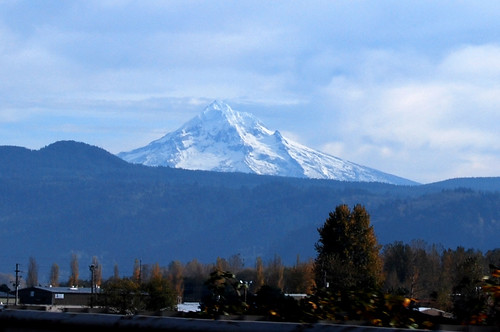
Doesn't Mt Hood look crooked? Like it's leaning toward the Columbia River.
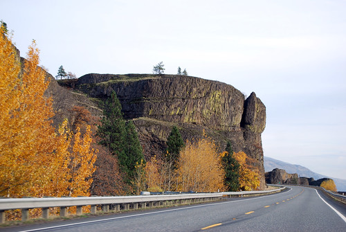
Here's a viewpoint at Cape Horn that we didn't stop at.
"Should I stop? Too late." Chunlin got the photo anyway.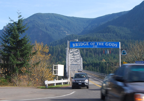
I remember walking across this bridge many years ago, while walking the southernmost 50 miles of the Pacific Crest Trail in Washington.
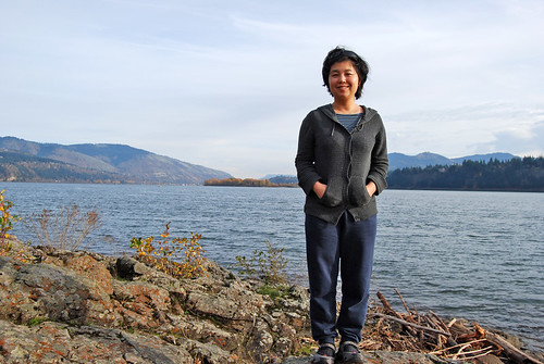
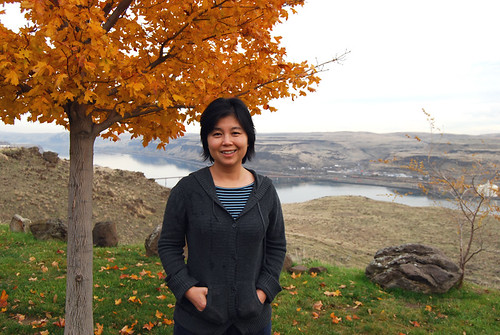
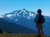
Does this photo make my hill look tilted?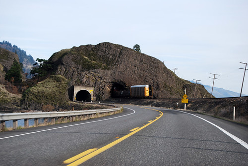
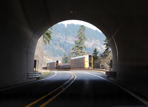
Look! A train! We're gaining on it!
Finally, I got the camera when I stopped at the Spring Creek National Fish Hatchery. (Why does the federal government need a fish hatchery? I mean, really.)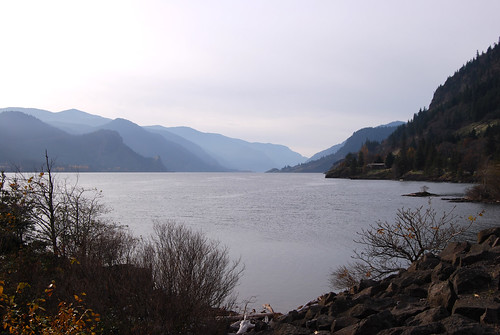
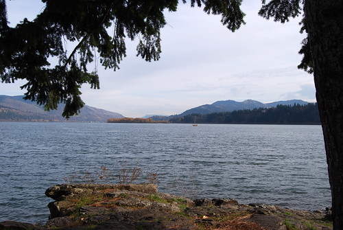
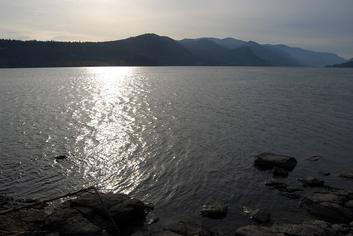
And then we were driving again, the camera back in Chunlin's hands. We cross the White Salmon River and enter eastern Washington.
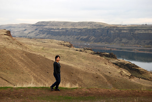
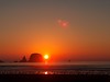
I stopped at a viewpoint over the dam-flooded Celilo Falls.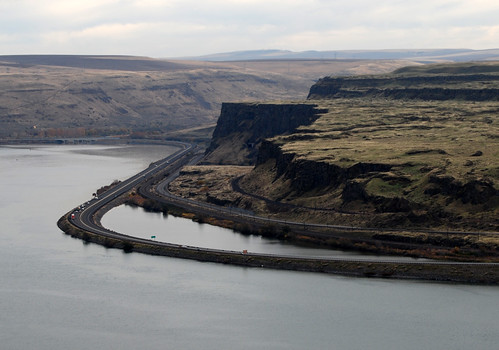
That's I-84 across the river in Oregon. Does anyone know why the freeway swings way out into the river like that? A secondary road and railroad stay on shore, so why does I-84 need to wander away?
Next stop was the Maryhill Museum.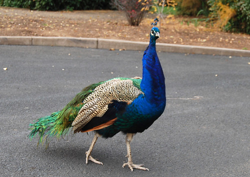
Before I parked, Chunlin snapped a few shots of a local peacock.
Maryhill was named after Sam Hill's mother, wife, daughter, and mother-in-law, who all were named Mary Hill. Yes, Mr. Hill married a Hill. Sam Hill got rich from lawyering and railroads, and then decided to spend his money starting a booming utopia on the Columbia River. Well, the booming part didn't work out, but it is a nice spot.
His mansion had a nice view of Mt Hood.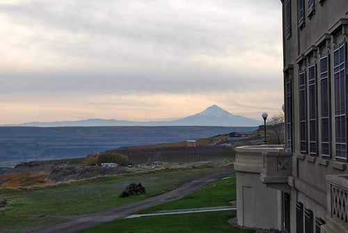
There's a slightly newer sculpture near the museum/mansion.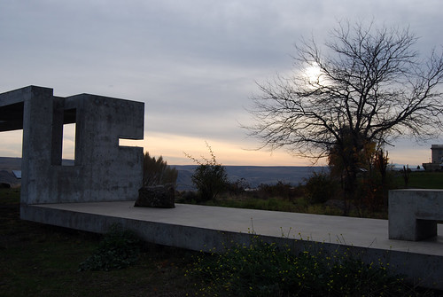

He also built a Stonehenge replica.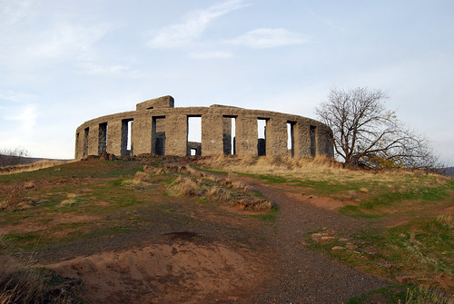
It was an anti-war memorial after the War to End All Wars. Sam Hill was a Quaker, you see. Our understanding of the Druids back then was a bit off, though, so he associated Stonehenge with ritual sacrifice and meaningless death.
Nice place, though.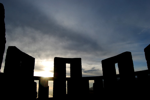
Sam Hill also designed the Blaine Peace Arch and built the first paved road in Washington, near Maryhill (you can't drive on it, sadly).
After Stonehenge, we headed up to Goldendale for the night. The Sam Hill Memorial Bridge to Oregon is closed for repaving, so we couldn't cross for the nearest hotel.
We watched horses chase each other outside our motel window. We then ate large platters of enchiladas and quesadillas and headed up the hill to the local observatory (a state park). It's open to the public on weekend nights, so we waited in line with a scout troop to peer through the telescope at the moon and a binary star. The moon was neat, but the stars were still just stars.


2 comments:
They probably put the wide sweeping turn on the interstate to avoid having to drop the speed limit for trucks to make the corner. Those are probably 40 mph corners on the old highway and on the railroad.
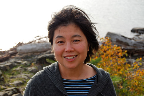
The hill is not slanted. Your car is.
Post a Comment