Day 12 - South Lake Tahoe
Took a little hike this morning to the top of Yosemite Falls (just about 3000' gain in 3.2 miles - but you have to walk a mile to get to the trailhead, so it's actually 4.2 or so). I started before 7:00 and thus was in the shade most of the way, and I still sweated profusely from the heat.
Here's the view halfway up (or so). This waterfall drops more than 1000'.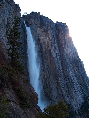
And the view from the top: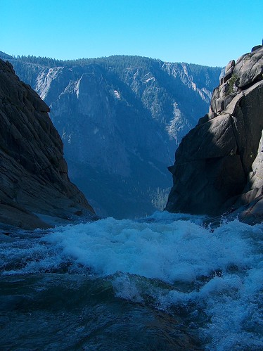
What was that you said about playing around the tops of waterfalls, Mom? Trust me, I didn't go down to the dangerous portion.
I've now driven north to Tahoe, obviously from the title of the post. I was three nights in the Yosemite area. It had been five days since I filled my gas tank. Back on the southbound portion, I was filling my tank maybe twice a day. Felt good to drive again. I took a sideroad (highway 89, if you're keeping score) instead of US 395, because it is curvier.
Here's the stateline between California and Nevada:
Note the casino.
And now we delve into the distant past to show some photos. Two or three days ago, as I arrived in the Yosemite area, I stopped by Mono Lake, which has some odd salt-and-springs-created rock features.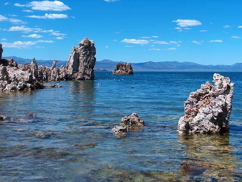
Remember how I climbed Clouds Rest for the best view in the park? Here's one-tenth of that view: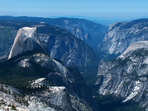
Yesterday, down in the valley, here's a view looking up at the same falls as above: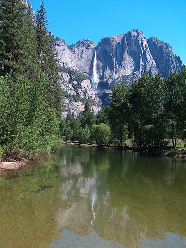
I've hiked 40 miles in the past five days, most of that with a full pack. I was planning on doing another overnight backpacking trip tomorrow, but I just might pass. Am I lazy or just ready to move on?


3 comments:
The first two of the falls are the best . . . that one looking down gives me vertigo just looking at it!! I think you have earned a wee bit of rest . . . it is allowed once in awhile! :-)
Nope, you've got to keep hiking. Do it for me! I am sooo jealous. :)
Great photos!
We went to Yosemite in June 2005. It is so beautiful, even klutz like me took some good pictures. Unbelievable spot.
Post a Comment